Visual site overview
A single overhead composition can make site context easier to review.

Orthomosaic imagery
Orthomosaic imagery may be quoted for projects that benefit from a stitched overhead view. Final scope depends on site conditions, deliverable needs, and available workflow.
Request a project quote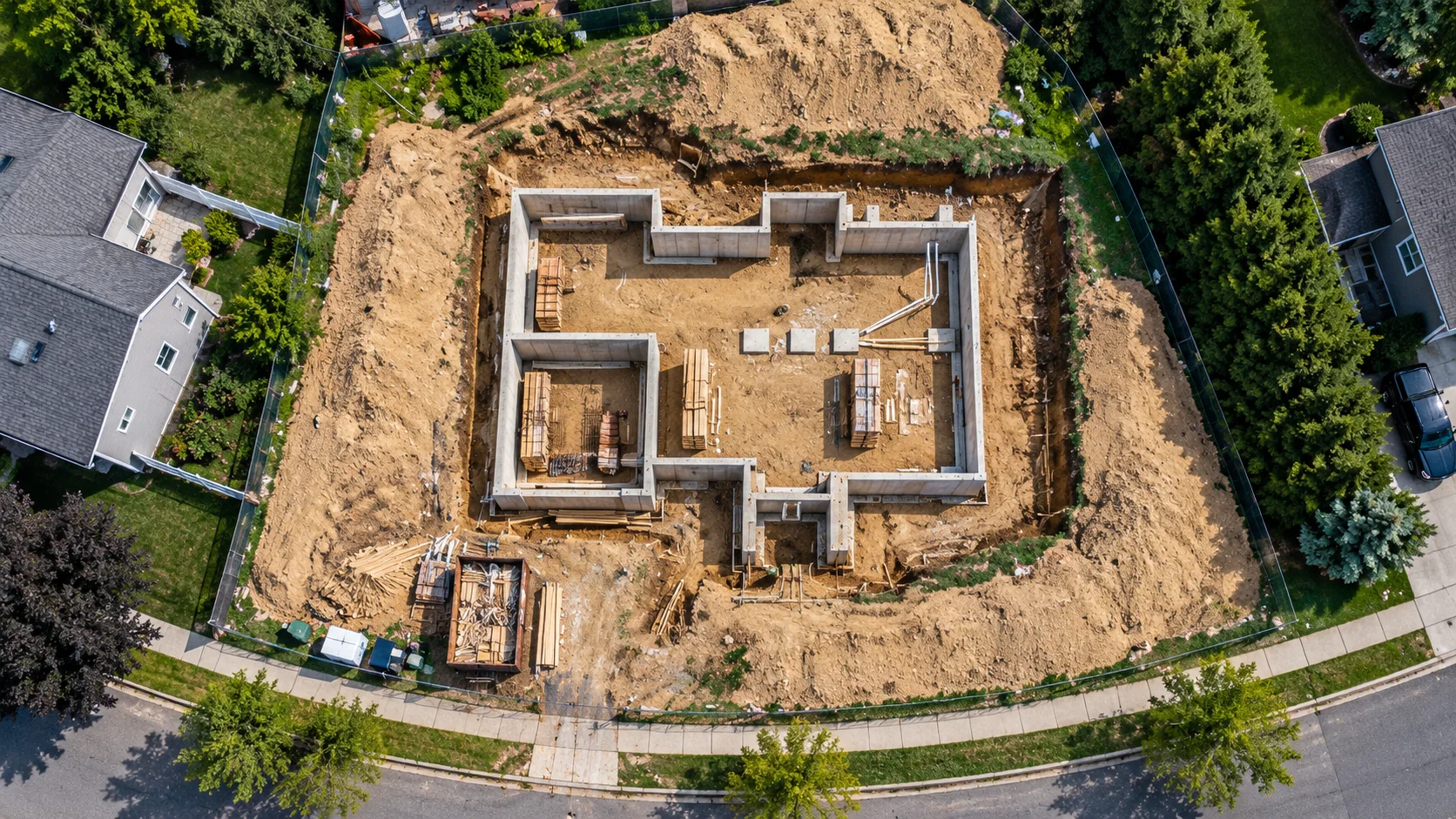
A single overhead composition can make site context easier to review.
Repeat captures can support visual comparison when planned for consistency.
This service is visual documentation—not a licensed land survey, engineering report, or inspection.
Scope note
Bring the whole project into view